I have run thousands of miles on the road, including 11 marathons and countless shorter races both on the road and on the track. Although I do more climbing than running now, for a long time I was among those people who could say, “I think I’ll run a half marathon this weekend, for fun.” However, I never did much trail running. My friend Lizzy is an ultra-runner. She loves long, long, trail running and is like a gazelle, hopping and skipping down the trails for miles and miles. She has run The Zion Traverse (50 miles) and is training for a 50 mile race this coming August in Squamish, British Colombia. Lizzy invited my daughter, Ashley, and I to join her on a training run on the Skyline to the Sea Trail in Big Basin Park this last spring. Ashley and I only did the second half with Lizzy but it was very fun – even including my face plant into the fire road with 6 miles still to go to the car.
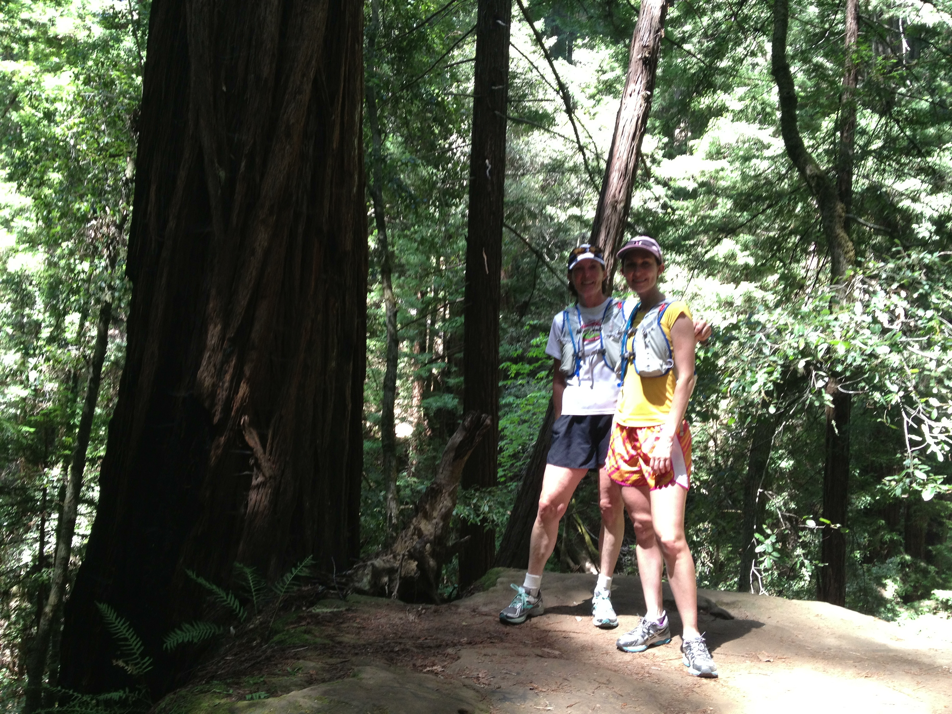
Ashley and me on the Big Basin run.
Photo Credit: Colin Delehanty
So, when Lizzy posted the Central Yosemite Tour Event on Facebook and it included a 16-ish mile portion I signed up to go. The entire Tour was 50k, which Lizzy was doing as another training run for Squamish. The Tour was on July 14 so everyone showed up at the Tuolumne Meadows store July 13 to start the process of car shuttling. We would leave cars in Yosemite Valley and Glacier Point.
Five of us (Lizzy, Julie, Kate, Geoff, and me) would start the run at Tenaya Lake. Julie planned to run either to Glacier Point or to Tunnel View with Lizzy via the Panorama Trail. Kate, Geoff, and I planned to run to Happy Isles in Yosemite Valley via the John Muir Trail. The run day car plan was that I would run to the Valley and then drive to Tunnel View where Lizzy would finish the run with her husband, Luke. Luke planned to start running at Glacier Point and run to the end with Lizzy. The car shuttling always takes quite a bit of time but we were headed back towards Tuolumne Meadows by mid-afternoon. We stopped at Tenaya Lake for a swim and nap on the beach. They swam… too cold for me. I napped and had weird dreams that incorporated all the conversations I heard among beach goers while I was sleeping. That night we had dinner at the Whoa Nellie Deli at the Mobil Station in Lee Vining. It was a beautiful evening and great food, as usual. You just can’t go to the Eastside without at the Whoa Nellie Deli!
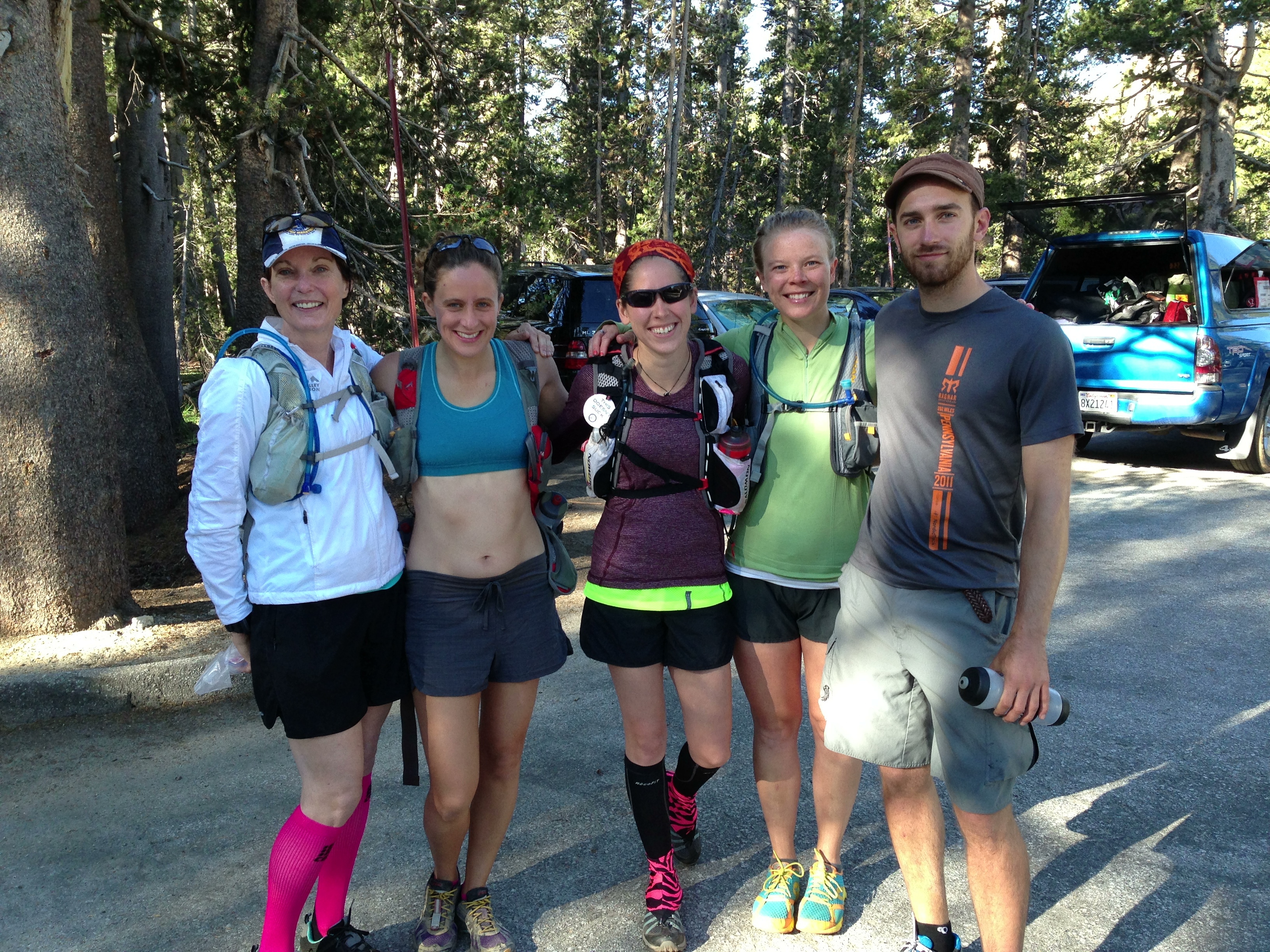
Me, Julie, Lizzy, Kate and Jeff at Tenaya Lake
Photo Credit: Luke Stefurak
The next morning we quickly packed up and were ready to run at the Tenaya Lake/Clouds Rest Trailhead. I had never been on this trail so I was excited to see the views from Clouds Rest. The trail starts out pretty flat but then heads steeply uphill. It became clear to me Luke’s reason for yelling to us to “enjoy the first 2.5 miles” as we started out of the parking lot! Switchback after switchback. I had made a promise to myself that I wouldn’t hammer the beginning only to be in agony at the end of the 16.4 miles. So, I followed Lizzy’s advice and power walked up the switchbacks rather than trying to run. Luke had said sections of the trail were too steep to run – coming from a guy who runs anything that can be run.
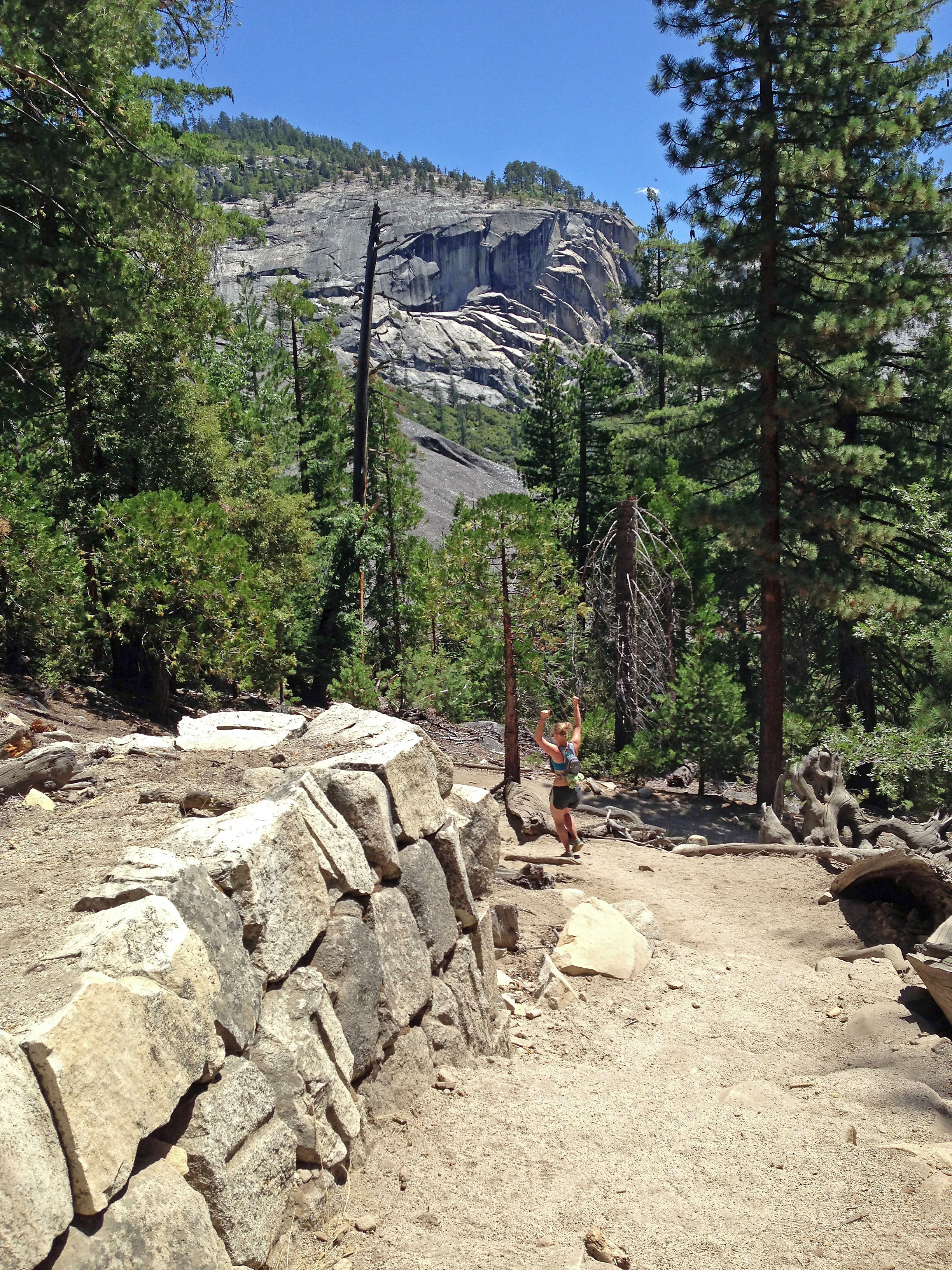
Kate and Geoff on the trail. Lizzy and Julie are ahead in the upper left
Photo Credit: Terrell Barry
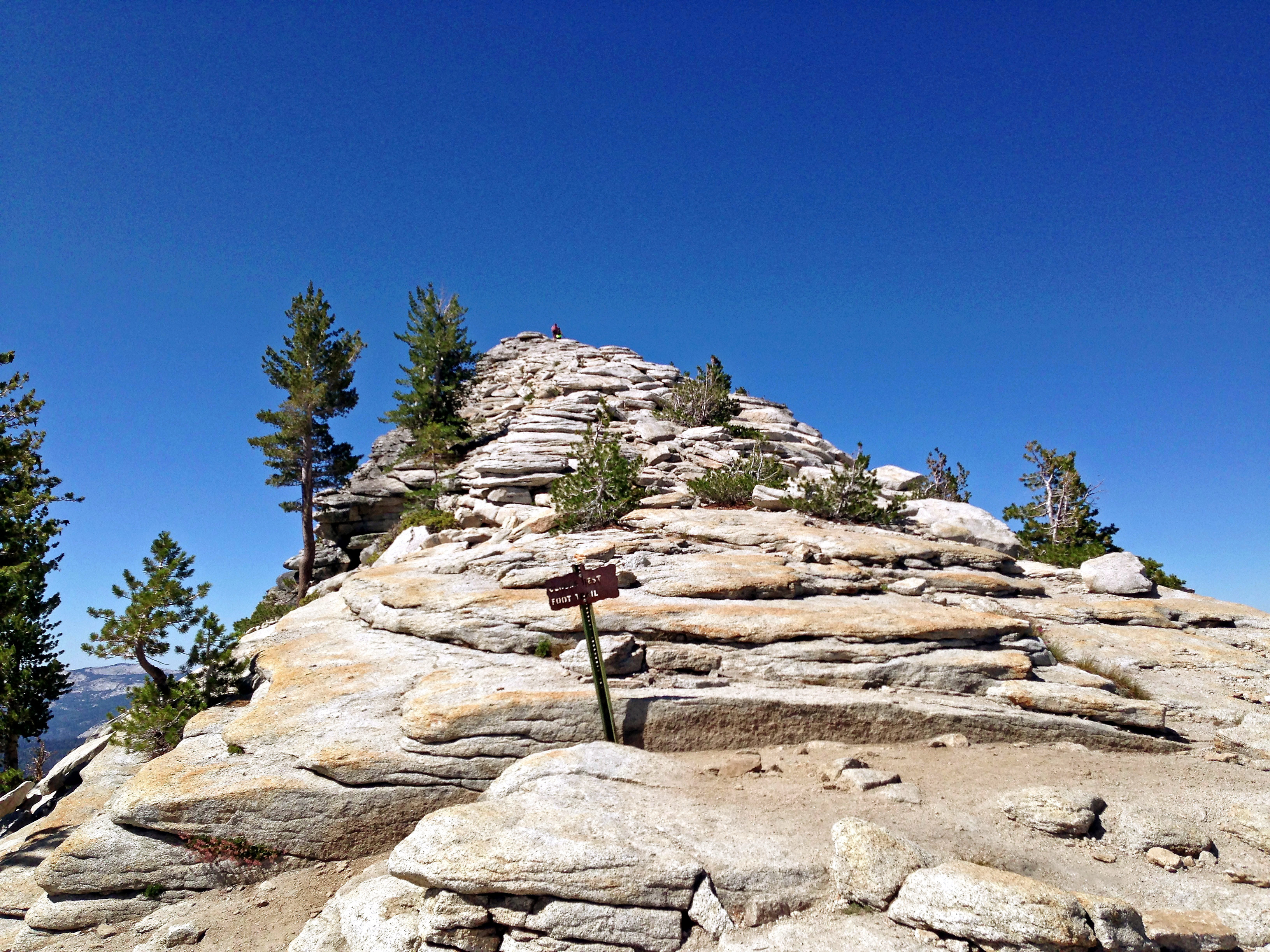
The trail to the top of Clouds Rest
Photo credit: Terrell Barry
Even with power walking we were on top of Clouds Rest in less than 2 ½ hours. And none of us felt taxed. Good news! The views were astounding. I highly recommend the hike from Tenaya Lake to the top of Clouds Rest, it is totally worth the effort to get there. We actually spent more time than intended on top of Clouds Rest – just soaking in the views,taking pictures, snacking, stretching.
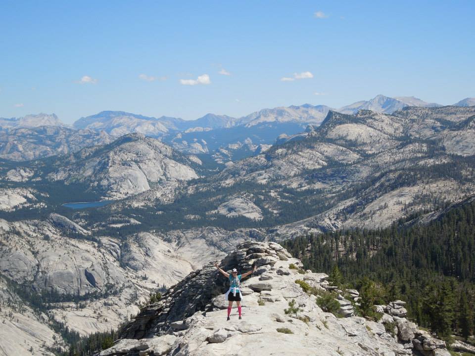
That’s me approaching the top of Clouds rest. Tenaya Lake is above me to the left – the turquoise lake
Photo Credit: Julie Jakoboski
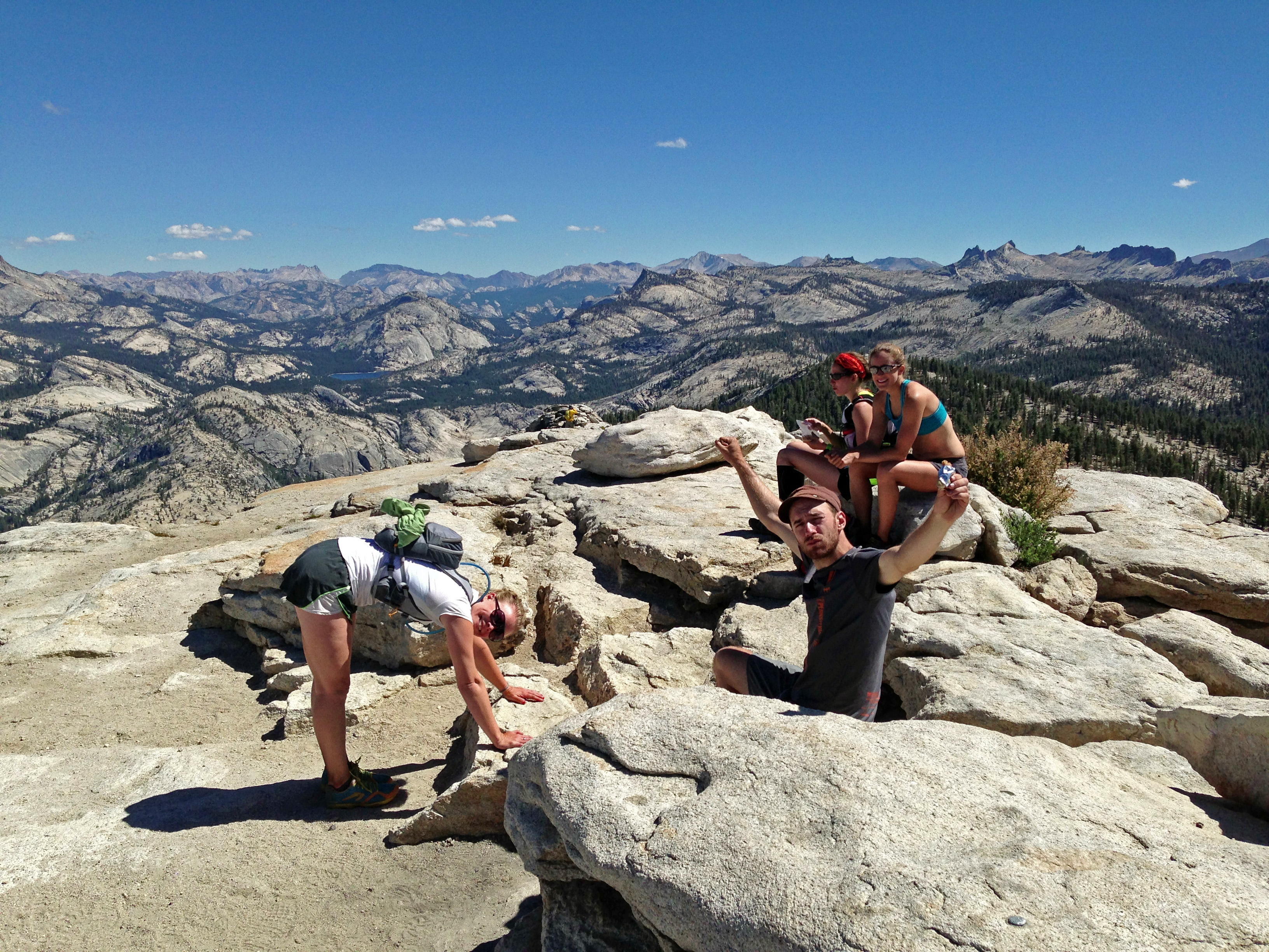
On top of Clouds Rest. Yippie!
Photo Credit: Terrell Barry

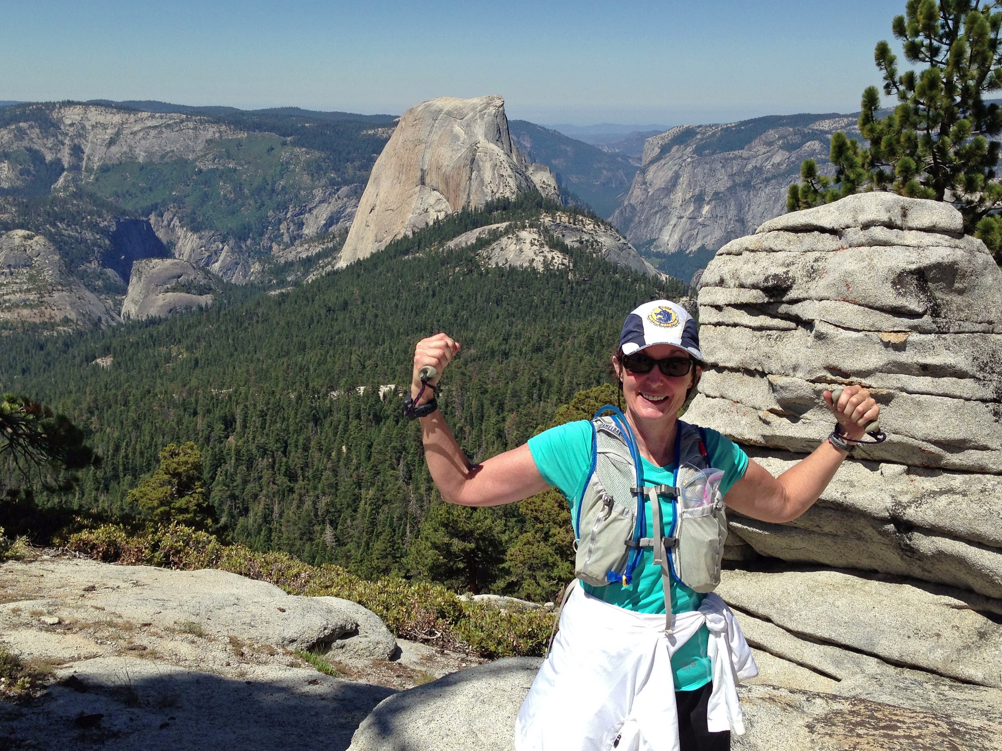
Yosemite Valley and Half Dome from the top of Clouds Rest
Photo Credit: Terrell Barry
Eventually, we all agreed we needed to move on. Clouds Rest is the highest elevation point on The Tour. It was pretty much downhill from there to Yosemite Valley (my destination), with only a few sections of flat and gently uphill. I quickly felt the effects of running downhill and tried to take it easy. I worried about the last part of the John Muir Trail into the Valley because I’m familiar with that trail and knew it was uncomfortable to hike, let alone run. So, I tried to save my legs for that. The trail was beautiful and well maintained in most sections so the running was technically easy – good thing for me since I’m a known face-planter…
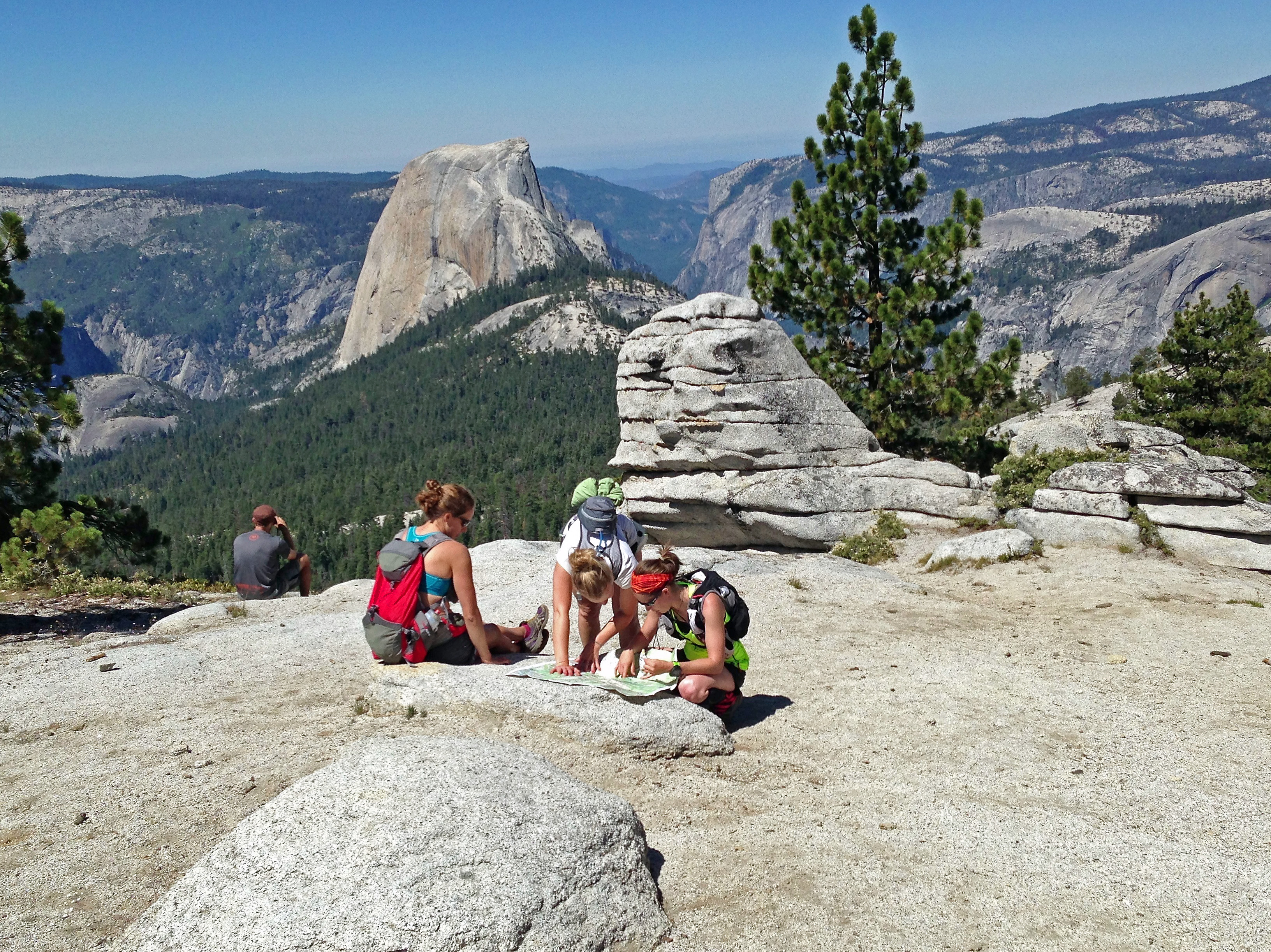
Time to check the map!
Photo credit: Terrell Barry
We stopped together at the bottom of Clouds Rest to check the map. Lizzy and Julie would set a quicker pace from that point on since they had much farther to run than us. There are a couple of trail junctions we needed to be sure we would not miss.

Half Dome from the east. Note the faint white like on the right hand shoulder. That’s the cables
Photo credit: Terrell Barry
It was fun to see Half Dome at completely different angle than I have ever seen it. The faint white streak just to the left of the right edge is where the cables are positioned for all those day hikers who want to summit Half Dome. Interesting to view it from that perspective. The permitting system certainly seemed to reduce the number of hikers on the trail up to Half Dome (for the better in my opinion). We saw a few people but nothing like the last time I was in the area to climb Snake Dike. We were quickly running through Little Yosemite Valley. We stopped at the Merced River to fill our Camelbacks for the last 10k (6.2 miles) of the run. Nice cold water from the Merced River was heaven at that point! Unfortunately, my GPS decided to dump the run up to then and restart in Little Yosemite Valley. So all I would only have our total time, including stops, at the end. Oh well. Not too big a deal. I sort of wanted to know the details but like most of my marathons (except my Boston Qualifier), my main goal was to finish this run, not time it.
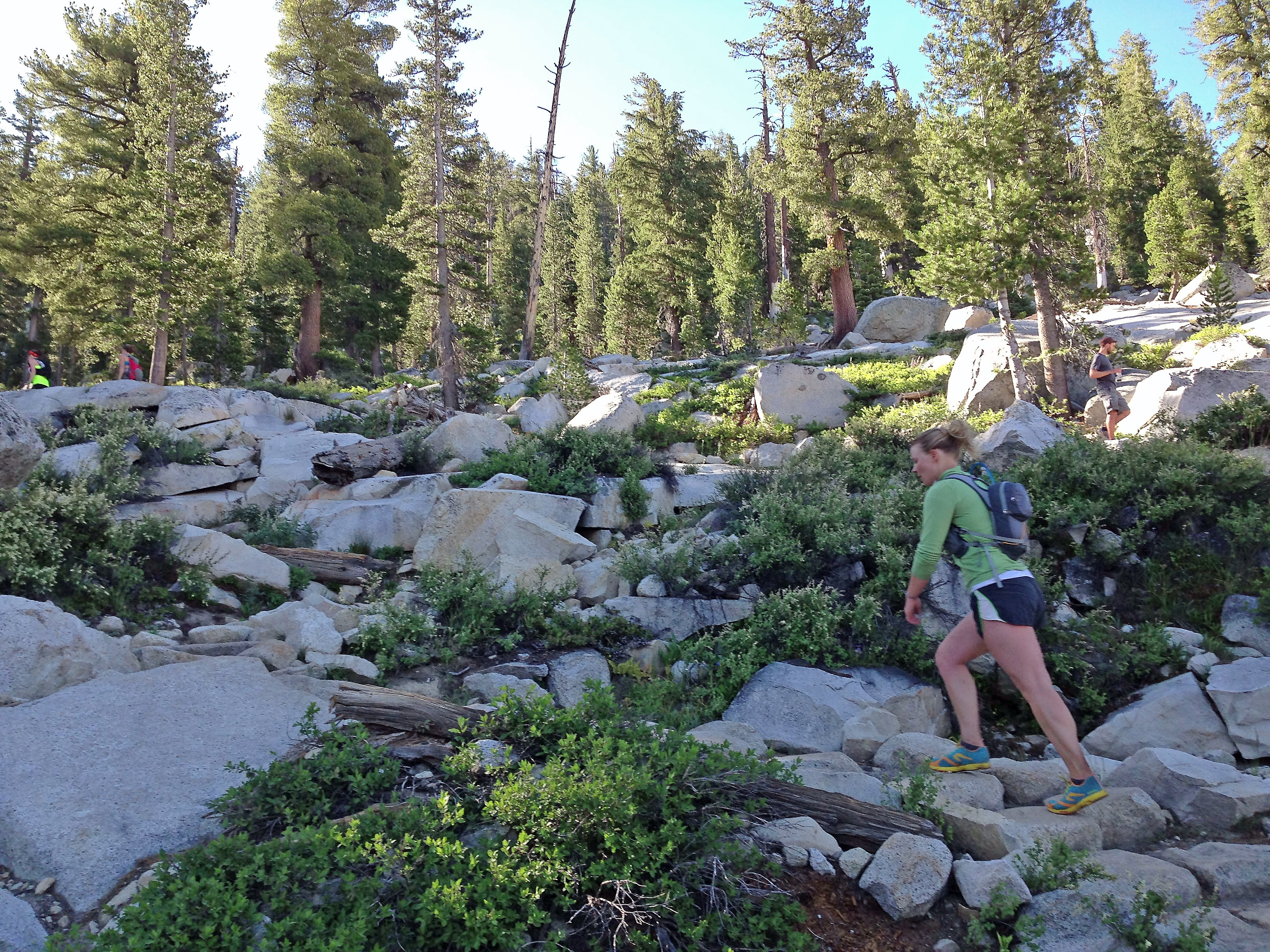
Kate on the trail below Clouds Rest
Photo credit: Terrell Barry
We reached Nevada Falls in no time. That’s where we hit our first bona fide crowds. I noticed on woman looking at me and my hot pink support sock with an expression of “fashion fopau” on her face. I wanted to yell – “Hey, I just ran from Tenaya Lake” but instead I ignored her. We enjoyed the view of the falls. Kate did a cartwheel for fun. I decided I’d better keep moving…
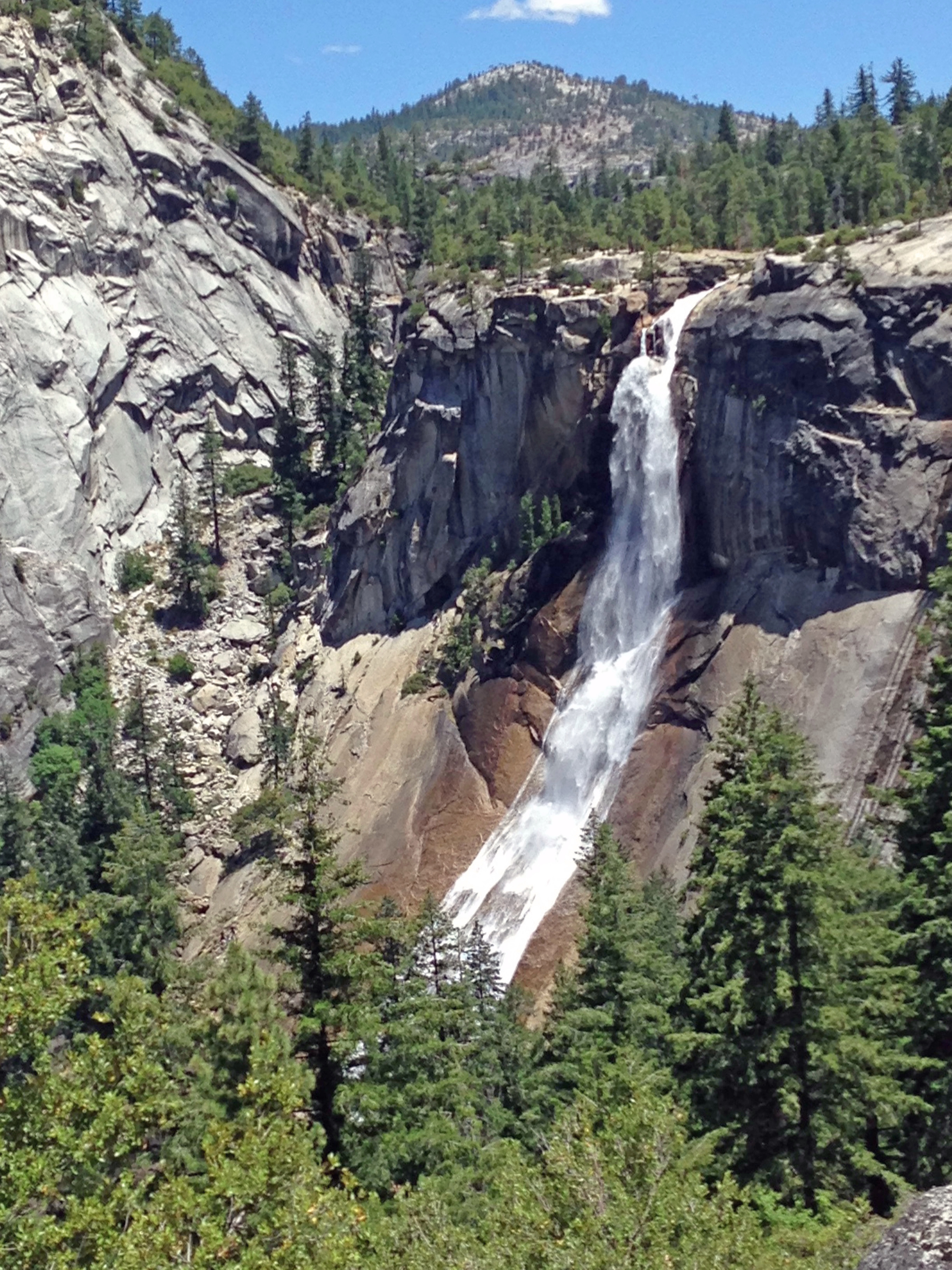
Nevada Falls from the John Muir Trail
Photo credit: Terrell Barry
My legs and knees were ok until about half a mile down the John Muir Trail. Then my knees tried to take control of the situation. A move I was having none of! I managed to keep moving at a decent pace for a little while longer but the trail got very rocky so I ended up power walking quite a bit of the last 3 miles. The last thing I wanted was to blow a knee at the end of this run! Vernal Falls came up fast with the sign indicating that it was 1 mile to the Valley Floor. Yippie!!!
Photo credit: Terrell Barry
Kate had waited at the Vernal Falls Bridge for me and we agreed to run the rest together. But, when she took off on paved but very steep downhill trail my legs just wouldn’t let me follow at her pace. She was quickly out of sight. Oh well, I would see her at the bottom anyway!
Geoff had hung back to take some photos and he caught me towards the end so we finished together. It was that wonderful long run/marathon just done feeling. Tired but ok. Enjoying the accomplishment. Our total time was 5 hrs 44 min. And that included the long stop on top of Clouds Rest, stopping to check the map below Clouds Rest, and a fairly long stop in Little Yosemite Valley to get water from the Merced River. Not bad! And right about where I estimated – 20 to 21 minute miles for total time. I’m liking this trail running.

Yeah! That’s 16.4 miles in the log book
Photo Credit: Geoff Cotter
We had someone take our photo at the Happy Isle Bridge then began the 1 mile walk to Curry Village. Walking was wonderful! We all stretched out as we went. At the Curry Village Store I got my usual recovery drink – chocolate milk. Then I bought some flip flops because my pair were up at Glacier Point in Luke’s car. I wanted my running shoes off. Next time I bring 3 pairs of shoes!
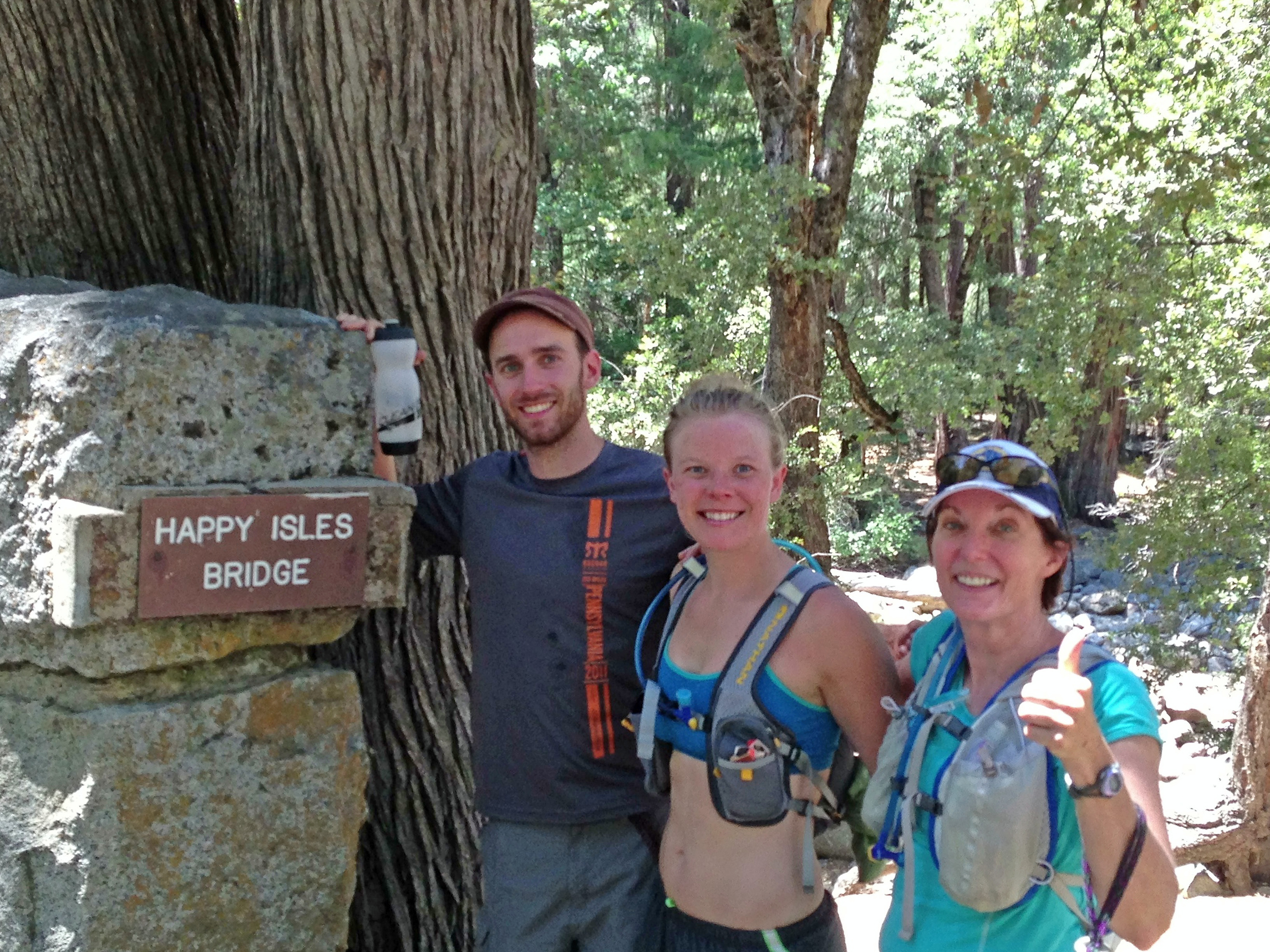
Geoff, Kate and me at the Happy Isles Bridge. And, yes, we were happy!
We waited to hear from Lizzy, Julie, and Luke. Julie let us know she finished at Glacier Point and would be at Tunnel View around 4:30. Earlier than I expected. So I was even going to get home at a decent hour! This was a great day all around. I picked up my things from Luke’s truck and, after getting cold water and some salty snacks, I was on my way home.

Lizzy texted me to let me know they had finished. She had a great run too. She is truly an inspiration. I’m looking forward to hearing all about the Squamish run.
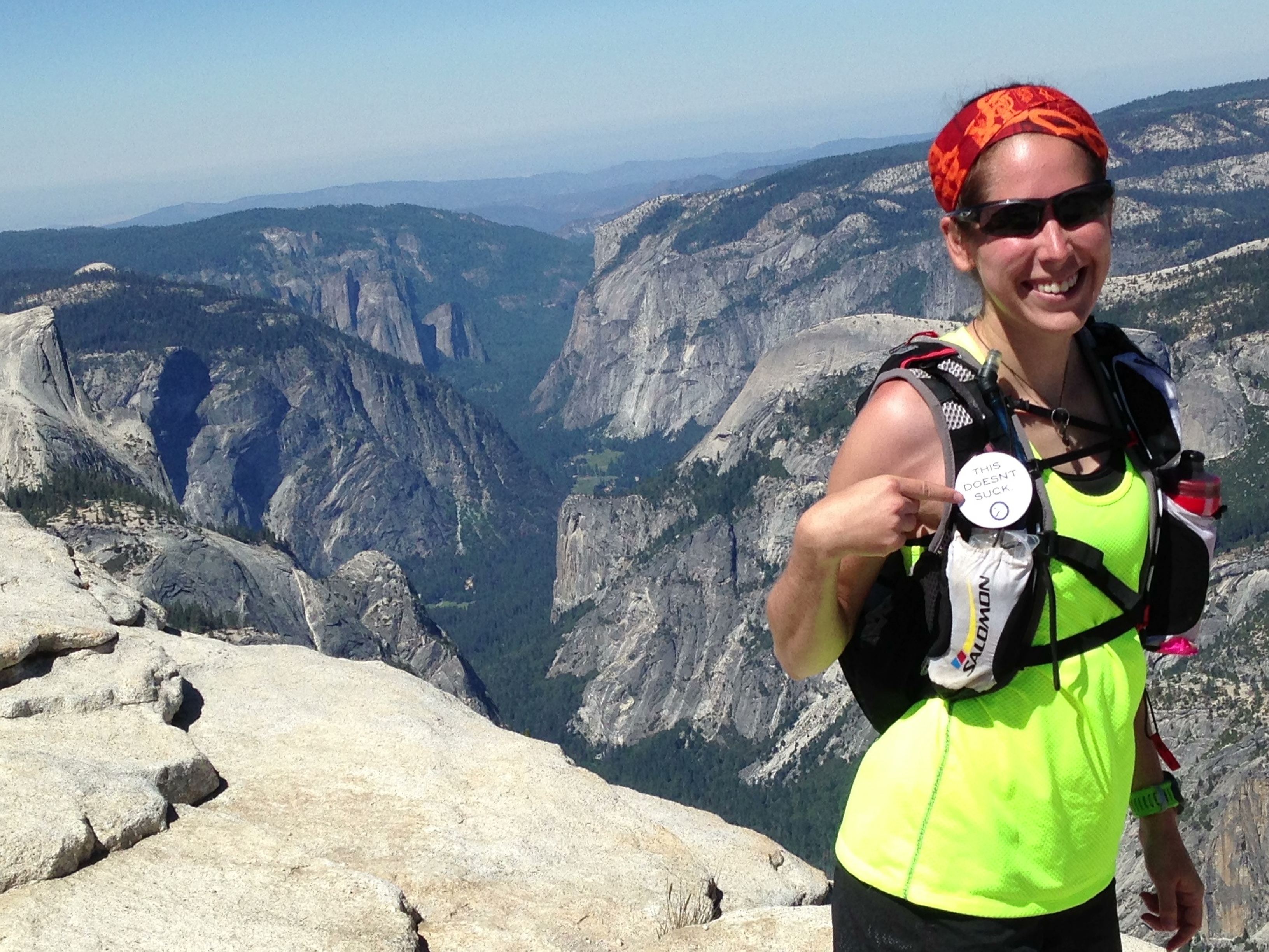
Lizzy proudly displaying her “This Doesn’t Suck” pin on top of Clouds Rest
Photo Credit: Terrell Barry
As the days afterwards went on my quads got as sore as when I did my first marathon! The downhill was brutal. I think that’s what I have to work on now. I really enjoy trail running and want to continue to do more of it. I’m looking at the back country in a whole different way now! What loop shall I pick next???
